Humanitarian Crisis
Governance
Governance
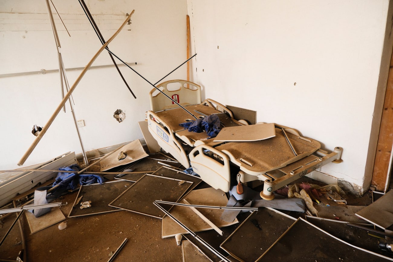
How a UN Resolution Failed to Protect Sudan's Health Care
Ten years after UNSC Resolution 2286 passed, a physician details how its shortcomings imperil Sudanese citizens and health workers
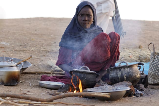
Poverty
Poverty
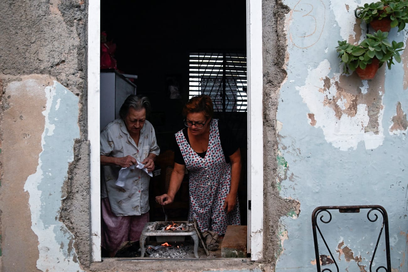
Cuba's Health Care Buckles Under Fuel Blockade
A professor of Latin American public health details how the 2026 fuel blockade has affected every domain of Cuba's health system
Poverty
Sudan's Health Workers Adapt to Increasing Drone Attacks
by Talha Arif
Poverty
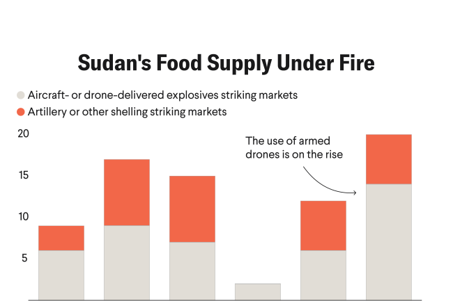
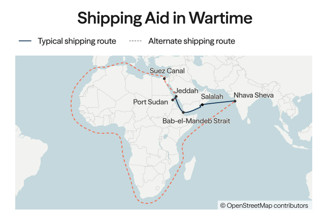
How the Iran War Is Straining Humanitarian Aid, in Three Charts
Poverty
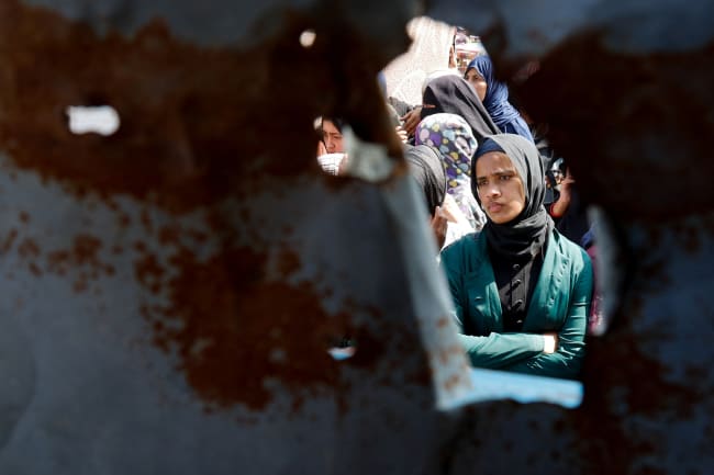
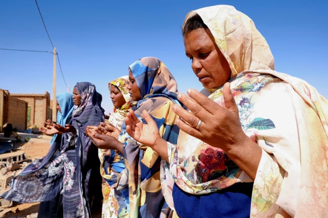
"We've Been in Famine for Months": Life in Post-Ceasefire Gaza
Governance
A Humanitarian Off-Ramp for the Iran War
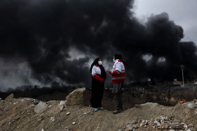
Governance
Repairing Global Health Security at the Humanitarian Frontline
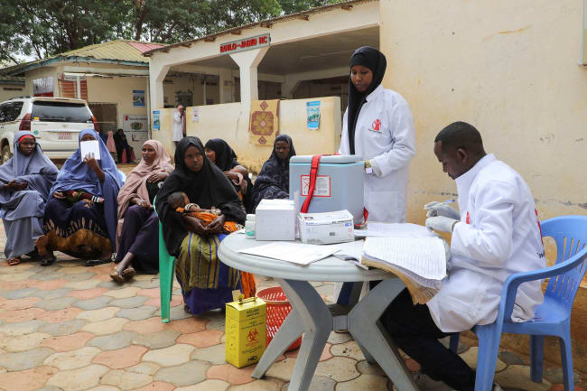
Poverty
What Sudan's Cholera Outbreak Reveals About Its Fragile Health System
Poverty
DRC in Crisis: The Human Cost of U.S. Aid Cuts Amid the M23 Rebellion
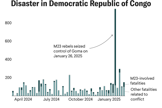
Poverty
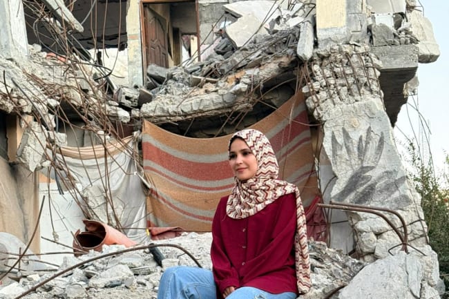
The Gaza Gray Zone: Between War and Recovery